
Project Description
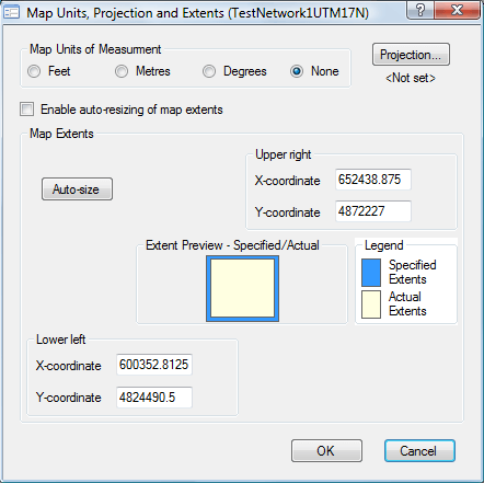
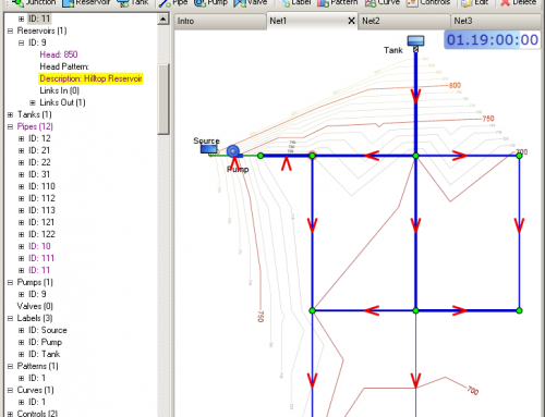
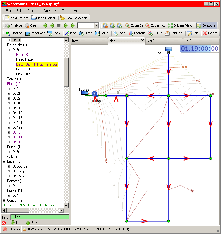
WaterSums allows the flexibility of choosing different levels of complexity for different applications. If arbitrary coordinates are to be used for locating network objects, the units of measure and extents of the network can be specified. The network layout can then be matched to a backdrop image to allow digitizing of network locations. In this mode, WaterSums will work very much like EPANET.
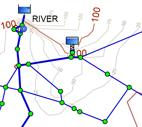
However, if coordinates are given in a known projection, it is easy to transform them to latitude and longitude using a cartographic projection
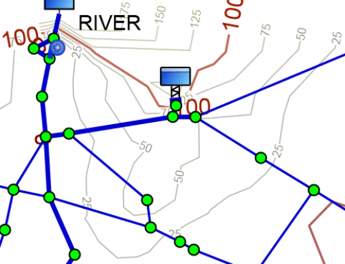
library such as Proj.4 which is used internally by WaterSums. After this transformation, the location of the point on the earth is known and immediately extra information can be obtained about that location. For example, information such as spot heights, background maps, population information and even geocoding is available via web services on the internet.
Users are strongly encouraged to use a projected coordinate system supported by Proj.4 when entering network locations. Through this simple selection of your coordinate system, access can be gained to background maps and many other diverse sources of information on the internet.