
Project Description
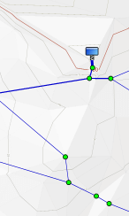
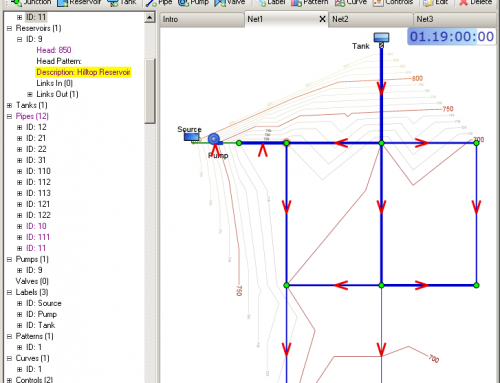
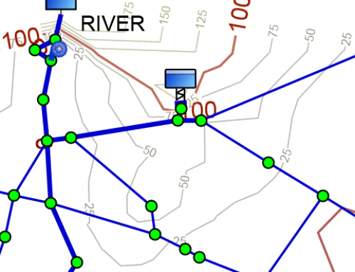
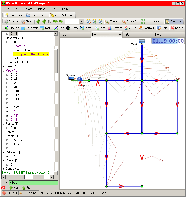
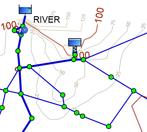
WaterSums can automatically generate terrain shading based on the elevations given in a network model for junctions, tanks and reservoirs. This process is experimental at the moment, but can help significantly with the visualisation of the comparative elevations and slopes in a network.