
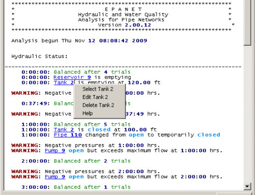
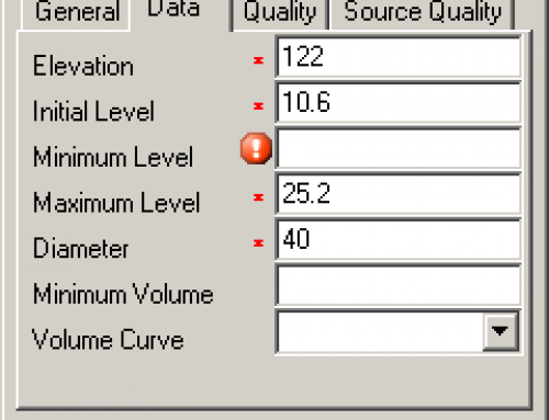
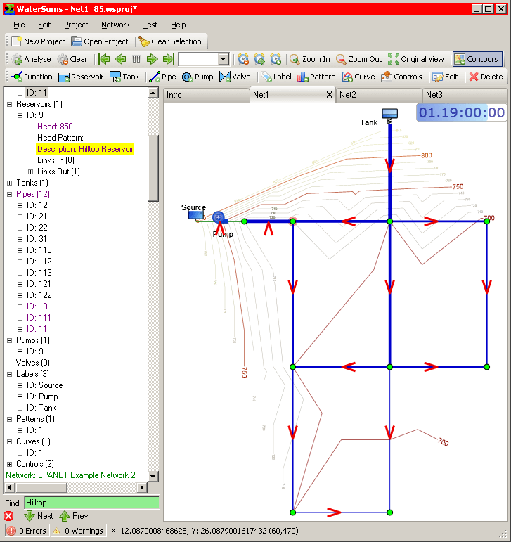
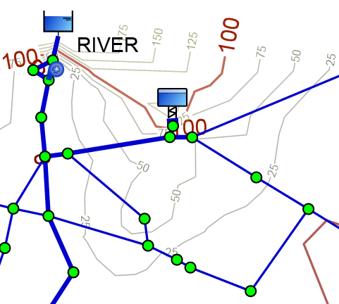
Project Description
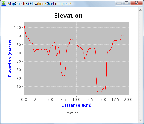
An elevation chart courtesy of MapQuest Open Elevation Service. The chart is generated on demand by the MapQuest service based on WaterSums providing the start and end location of a selected pipe as well as various midpoints. WaterSums then displays the chart in a browser window. Note that MapQuest generously provides the service: there is no suggestion that MapQuest supports WaterSums in any way.